The Civil Defense Caves
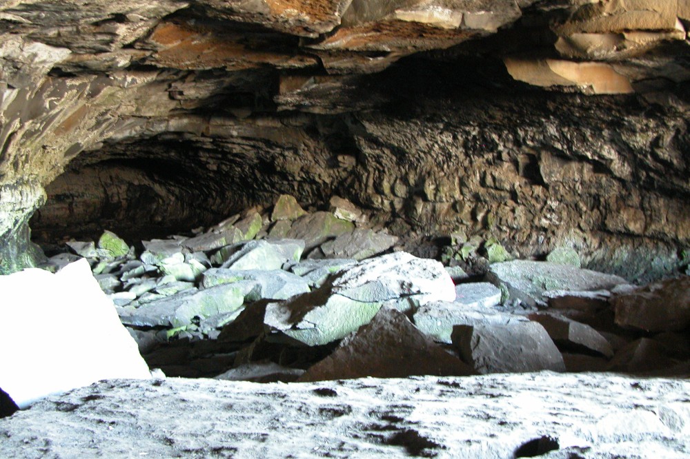
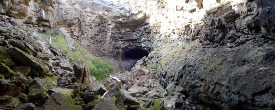
The Civil Defense caves are lava tubes. Lava tubes are formed when molten lava flows steadily in a confined channel for many hours or days. The flows develop a solid crust or roof as the lava on the surface starts to cool and harden. When the source of lava stops flowing, the lava in the channel eventually flows out, leaving a tube behind and a relatively flat floor. Because of the insulating qualities of Lava, the interior of the caves is cold, even on the hottest days of the summer. Lava tubes are common in eastern Idaho.
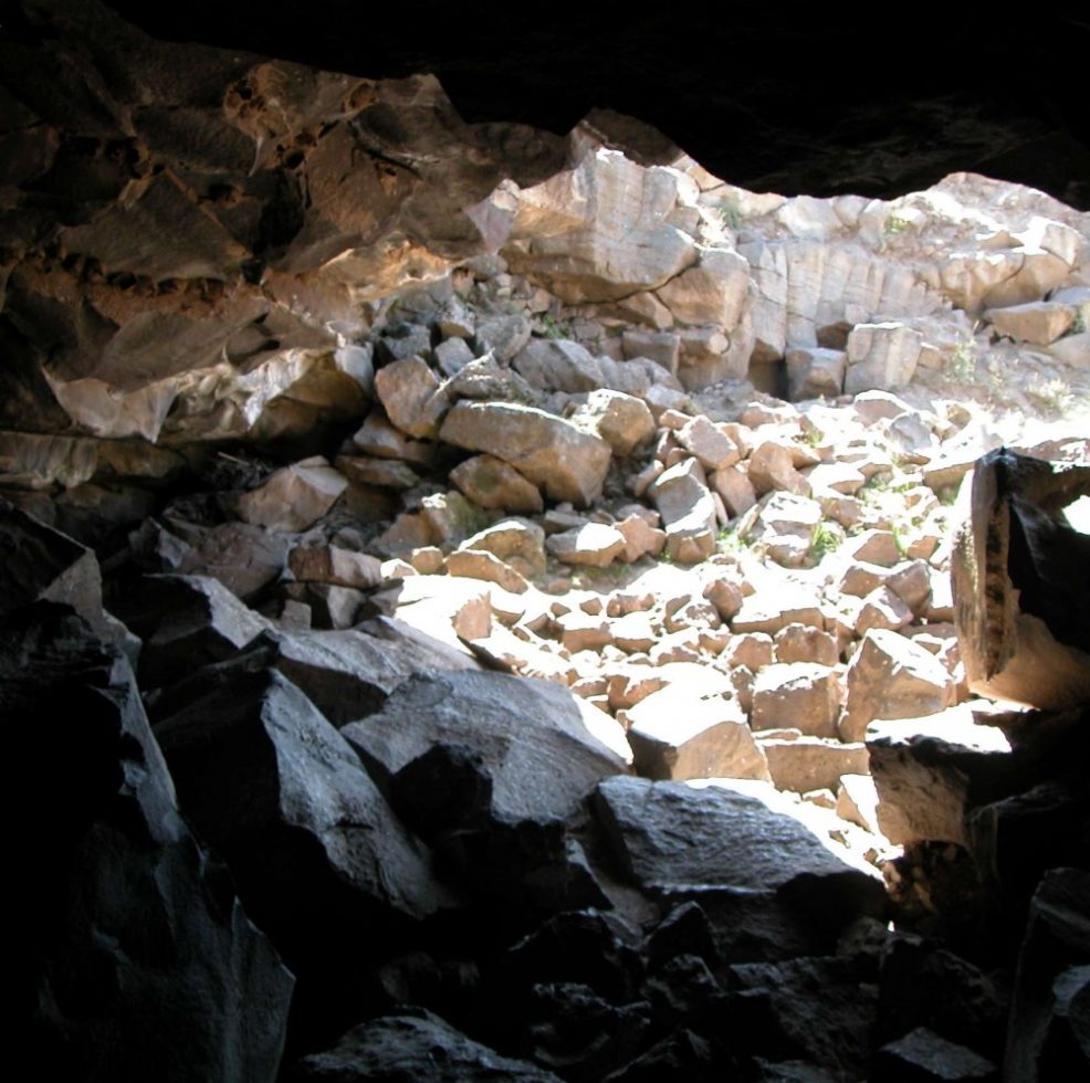
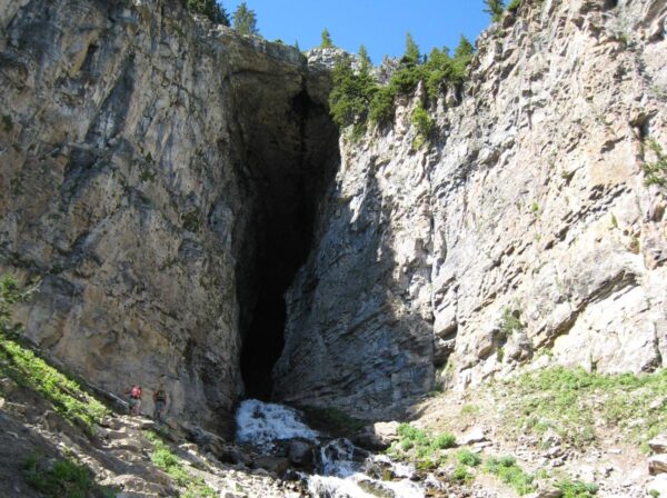
From the entrance, the cave goes in two directions. The easiest section of the cave heads to the southeast underneath the parking area. After scrambling over the large rocks in the entrance and over the fields of ice, the floor of the cave is generally flat, though not very smooth. Most of the way there is ample headroom. If you continue to the end you will occasionally have to scramble over large rocks that have fallen from the ceiling. The more adventurous person can explore the narrow parts of the cave such as “Fat Man’s Misery.”
[sphere 1643]
Tips for Visiting:
- Travel in a vehicle that can handle bumpy dirt roads. Sometimes, these roads will have mud on them.
- Bring adequate footwear. The floors of the caves are covered in rock & hardened lava.
- Bring adequate clothing, as the caves are cold year round.
- Bring flashlights
Leaving No Trace
The Civil Defense caves are awesome for everyone. It might be the first and last time that many people will go into a lava tube. We ask that you practice the “Leave No Trace” ethics on your adventure.
Directions From Rexburg ID:
- From the north, Rexburg interchange of Highway 20, travel 16.6 miles north on the Salem highway, past the sand dunes heading towards Kilgore.
- *There will be a tall but small sign indicating the Civil Defense Caves are five miles on the dirt road heading east. See two pictures below, one of the sign and the other of the dirt road. It is five miles to the caves over the dirt road. The road is traversable by passenger cars but drive carefully. After a rainstorm, the road can be muddy. It is easy to get lost because the road meanders up, down, and around and is not visible very far ahead or behind.
- After about three miles there is a fork in the road. See picture below.
- Take the left fork.
- The road continues in a north, northeast direction for about a mile.
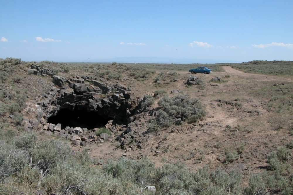
- The road terminates in an open area that serves as a parking area. There are usually several fire pits in the area. The cave entrance is just to the north of the of parking area. Click on the larger picture at the top of this page.
*The sign is no longer there. You will reach a point where a small pile of rocks will be your only marker for the turn-off. While driving down the dirt path, keep to the right until you see the definite fork in the road. Then use the above directions as is.
2-4 Hour round-trip, Kid Friendly