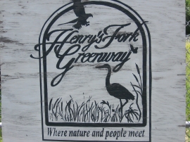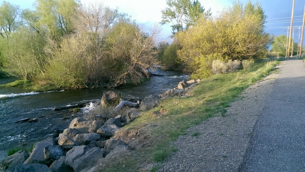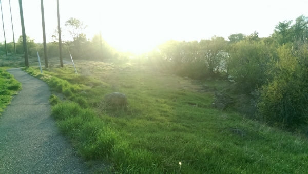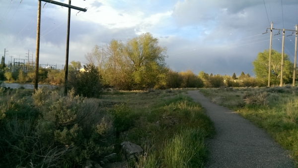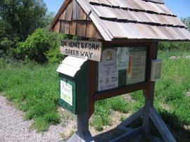
The Henry’s Fork Greenway has two parts, North and South. The north trail entrance is located near River View Cemetery. The south trail entrance is located near the north side of the highway 20 overpass. Both trails follow the Henry’s Fork of the Snake River. They feature paved trails, biking, hiking, wildlife viewing and access to the river for fishing. In the winter the trails can be used for cross-country skiing. Many local organizations come together annually to clean and repair the trails. Funding for the projects has come from the City of St. Anthony, private donations, and grants.

Features:
- Pet Friendly
- Difficulty: Easy
- Trail: Paved
Directions From Rexburg:
- Turn left onto ID-33 W
- Turn right to merge onto US-20 E toward St Anthony
- Take exit 346 toward St.Anthony
- Turn left onto S Bridge St
- Turn left to merge onto US-20 W towardRexburg/Idaho Falls
The beauty of the area more than makes up for the fact that it is close to the highway.