
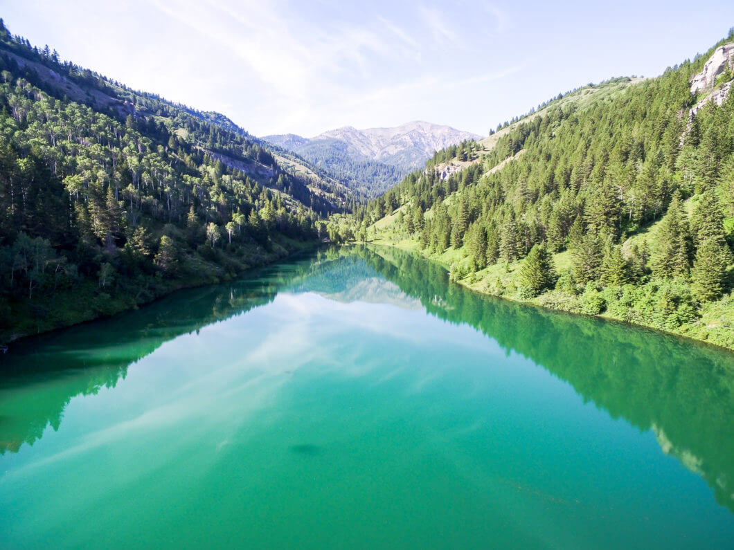
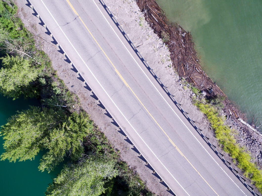
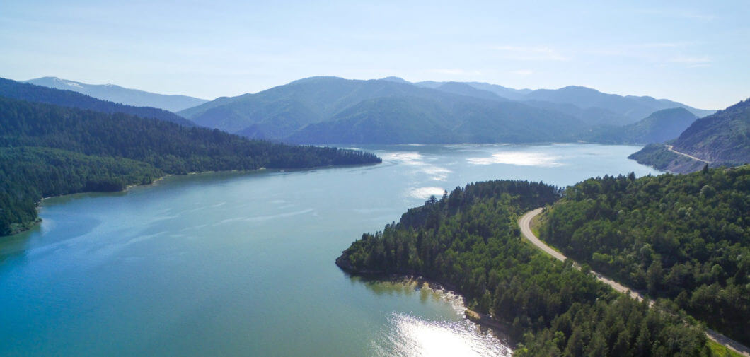
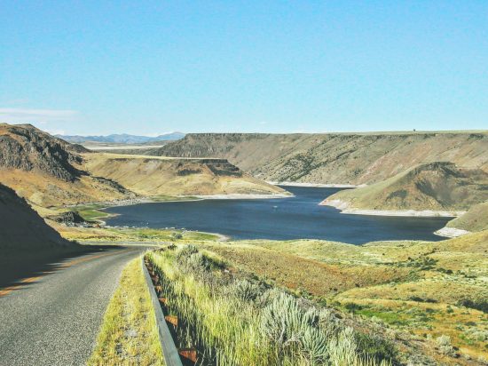
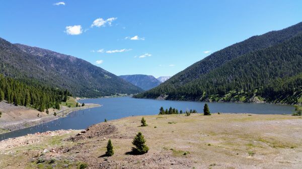
Palisades Reservoir is nestled in the Snake River Range of the Rocky Mountains. This beautiful setting provides a place where wildlife thrives in abundance. Experienced guides in the area offer fishing and scenic tours on the Palisades Reservoir which extends from Palisades Dam 22 miles east to Alpine, Wyoming.
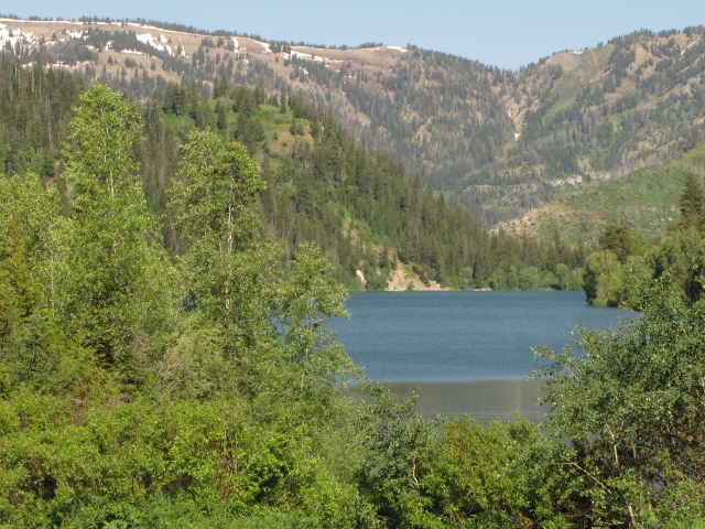
Finger of Palisades Reservoir
In the fall, foliage on the trees and bushes is especially beautiful when the leaves change their colors to brilliant orange, gold, and red. A trip to Palisades during the fall is a memorable occasion.The Palisades Dam backs the water up for approximately 18 miles creating the picturesque Palisades Reservoir. Its body of water is 16,000 acres.
Camping & Boating
Vacationers will find 9 campgrounds containing 181 family units. Boat launching ramps are located at convenient points along the reservoir at Blowout, Calamity, Indian Creek, Little Elk Creek, McCoy and Upper Bear Creek. All have boat docks and campgrounds except Upper Bear Creek.
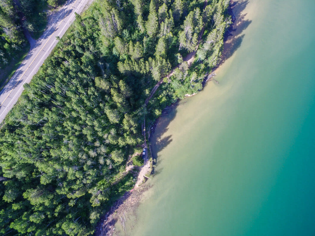
Shore at Palisades Reservoir
Directions from Rexburg to Palisades Reservoir:
- Take S Yellowstone Highway
- Turn on Archer Road/ S 2000 W
- Curve left to get on W 7800 S
- Curve Right to stay on Archer Highway
- Turn Left onto E 200 N/ Heise Road
- Turn Left onto U.S. Highway 26/ Swan Valley Highway
- Stay on this road for 35 miles
- Turn right onto Bear Creek Road
- Palisades Dam will be on the Right

Comments (New Feature)
To server our growing community we've recently added comments. Share your thought and insights below...
No Comments Yet (be the first!)